November 2019 - Appalachian Trail in Virginia and West Virginia
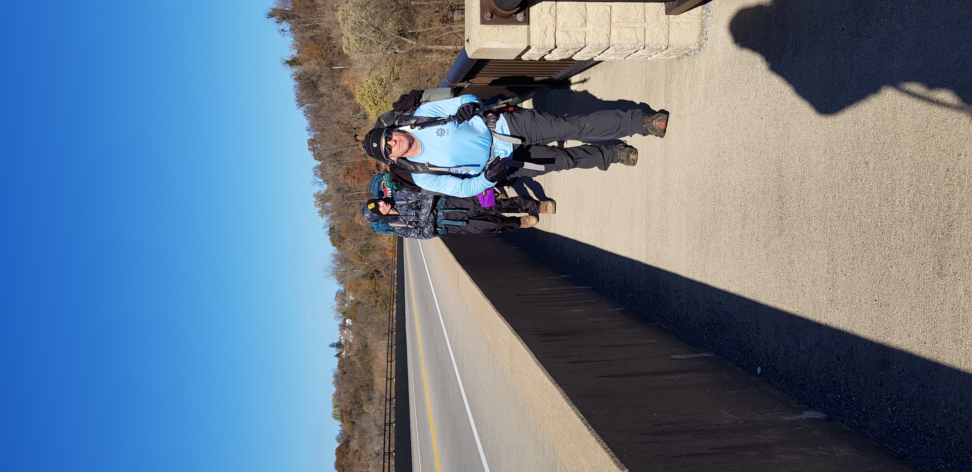
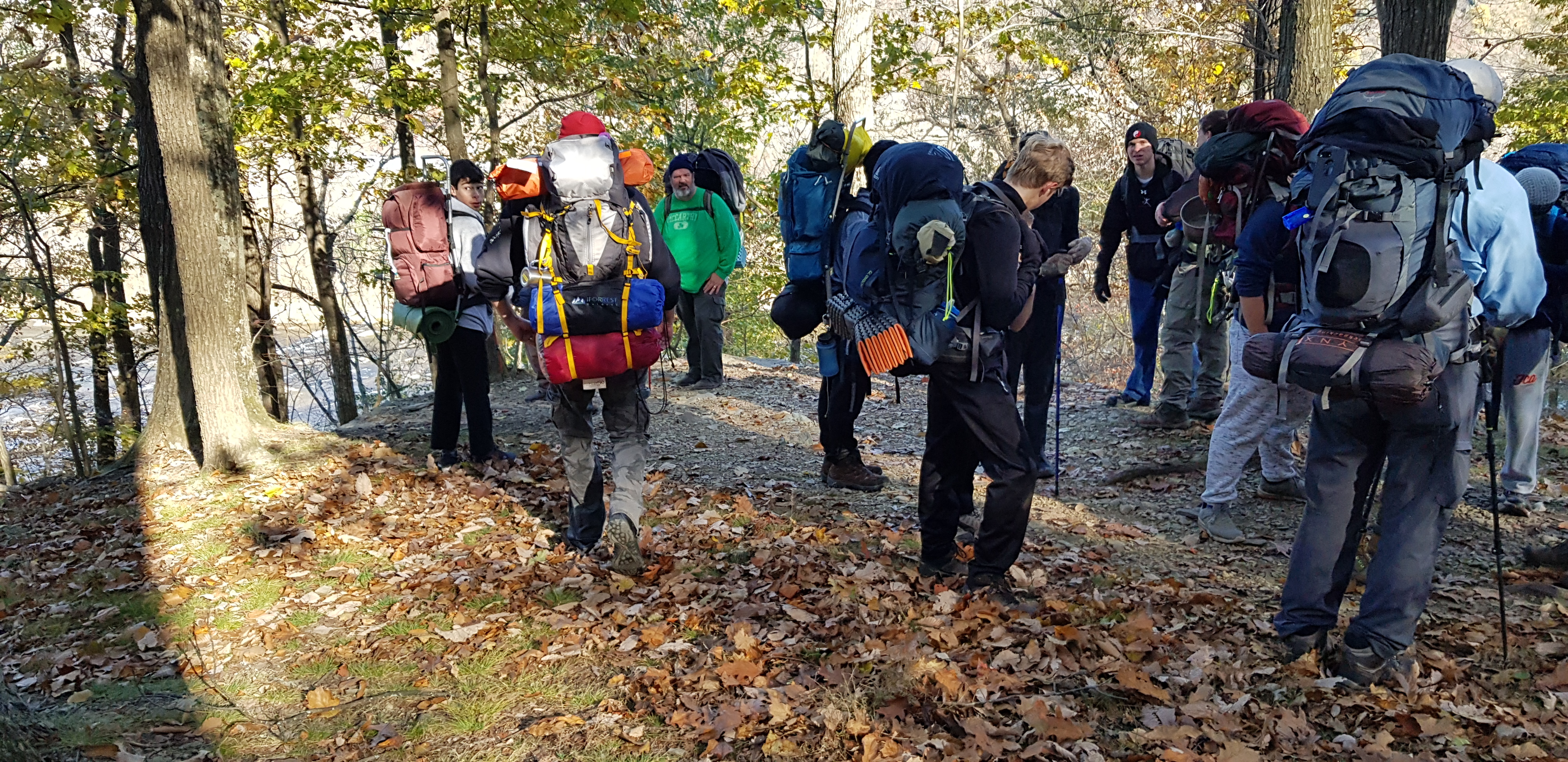
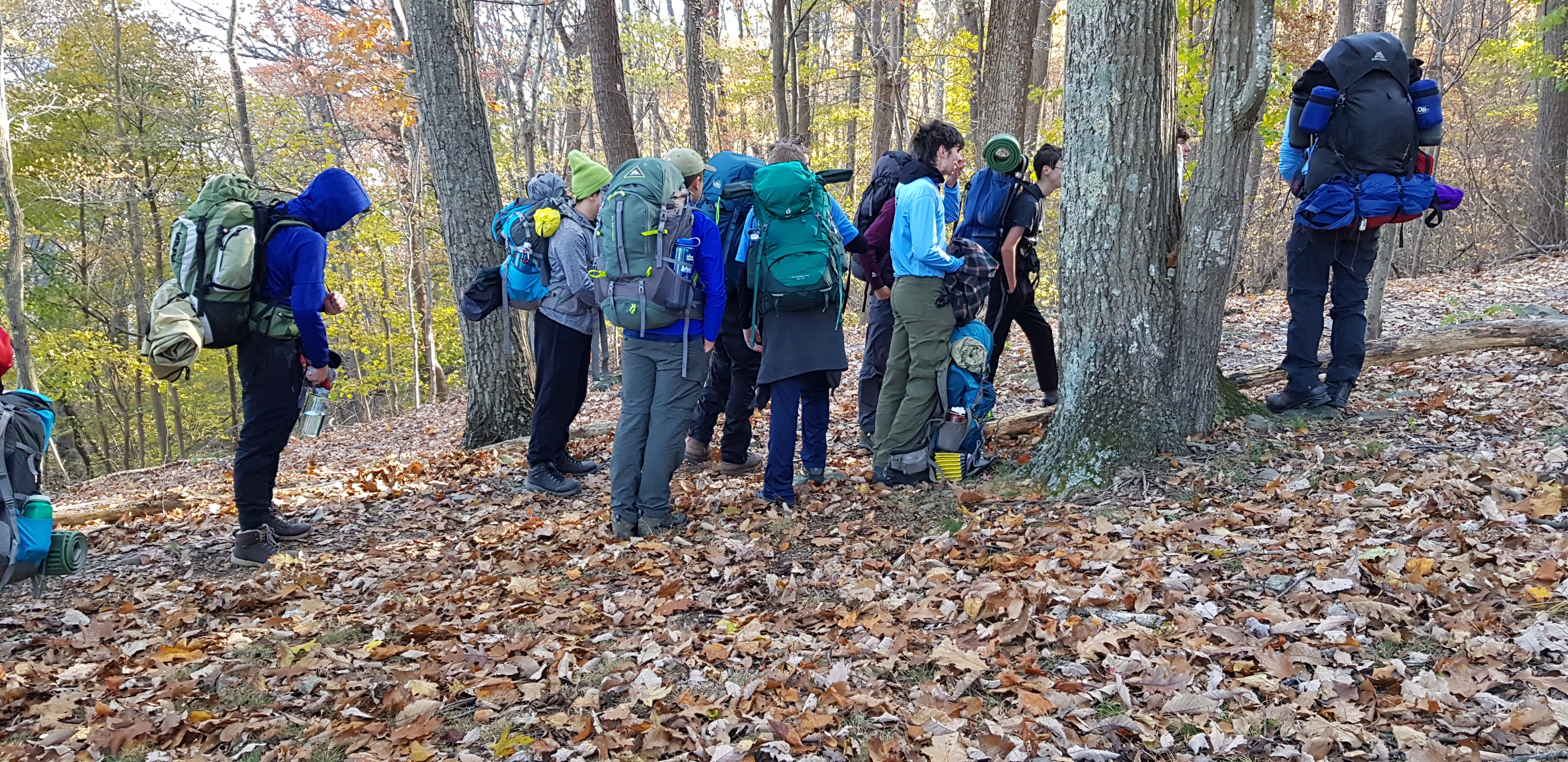
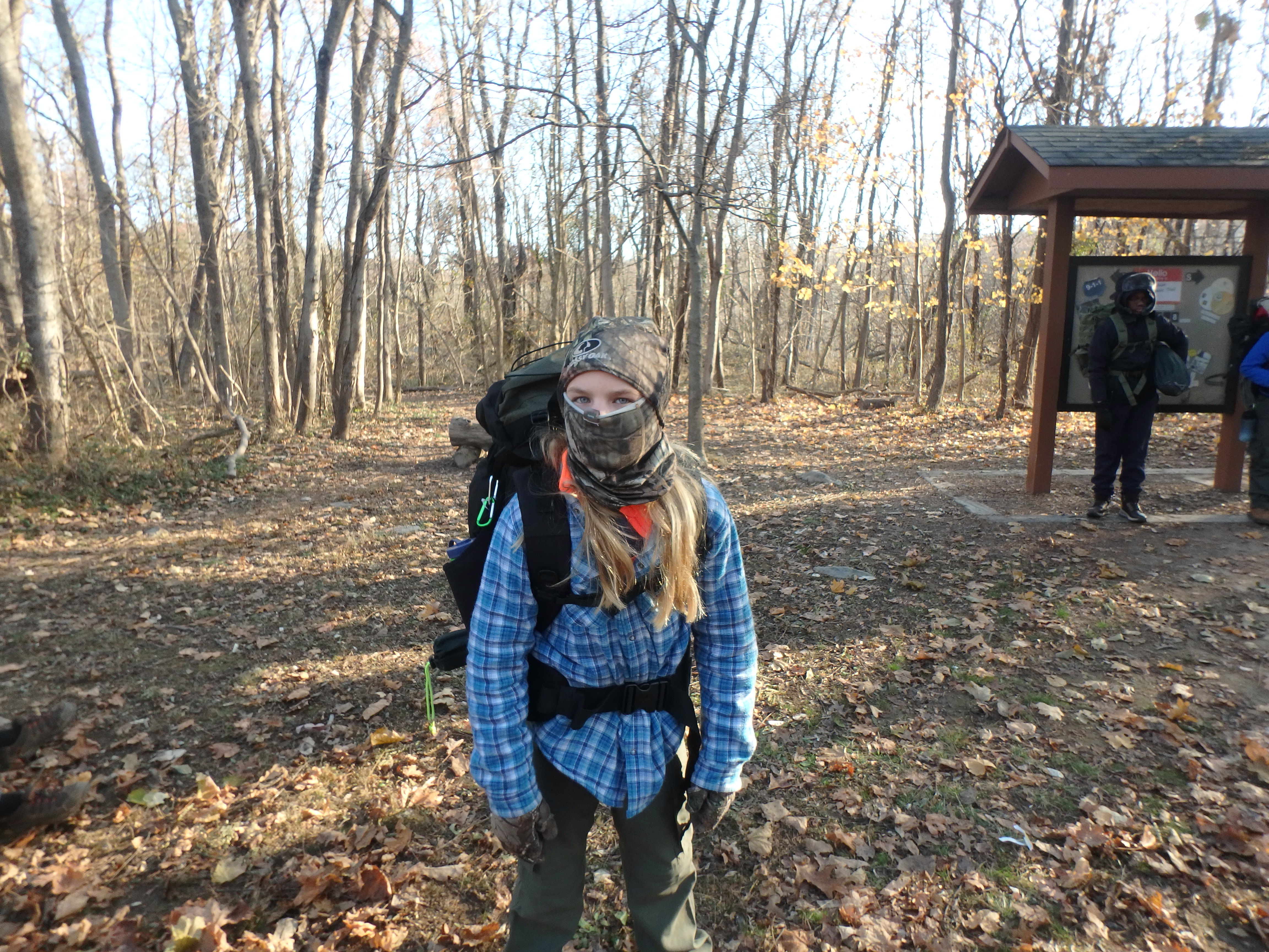
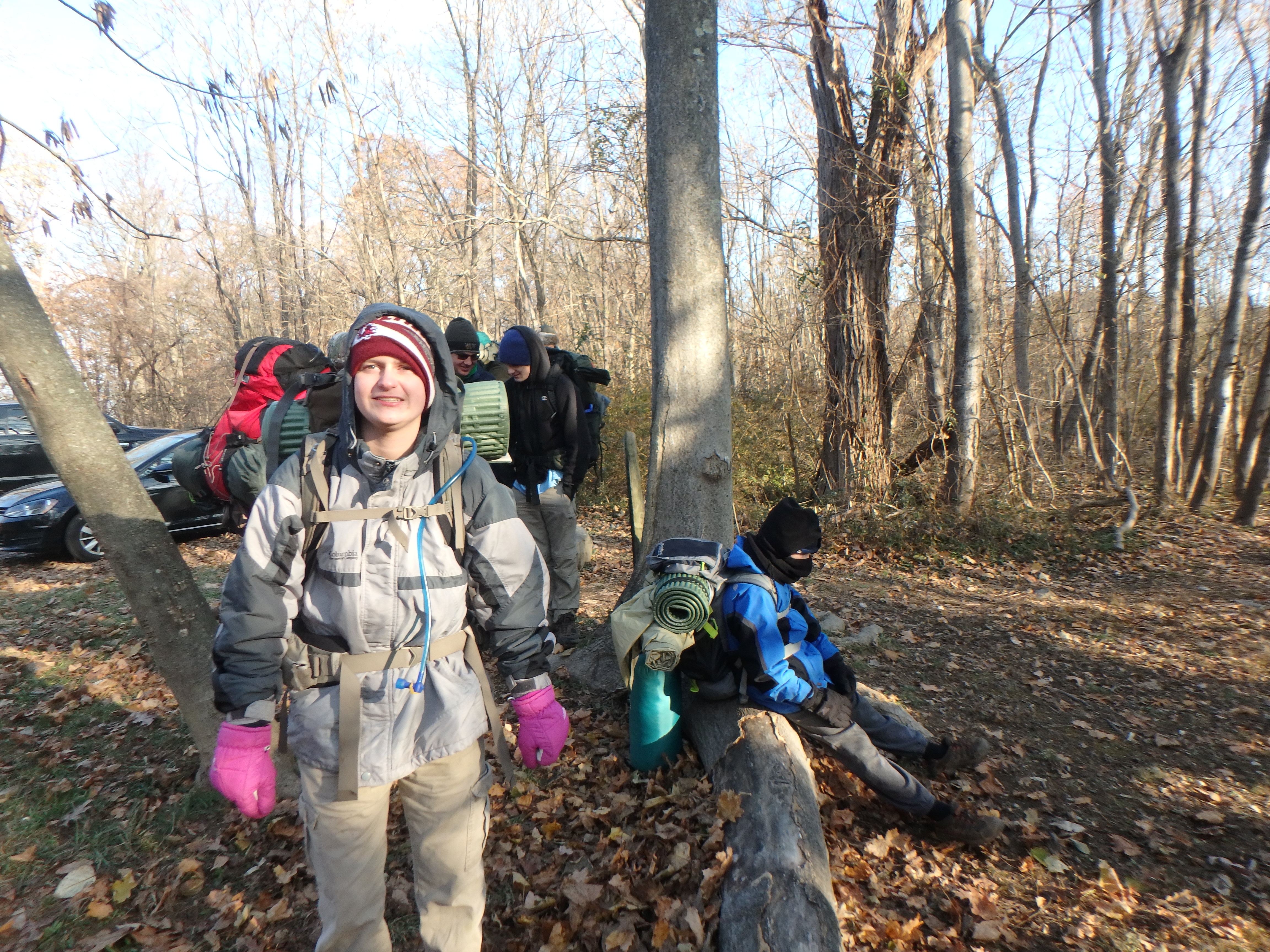
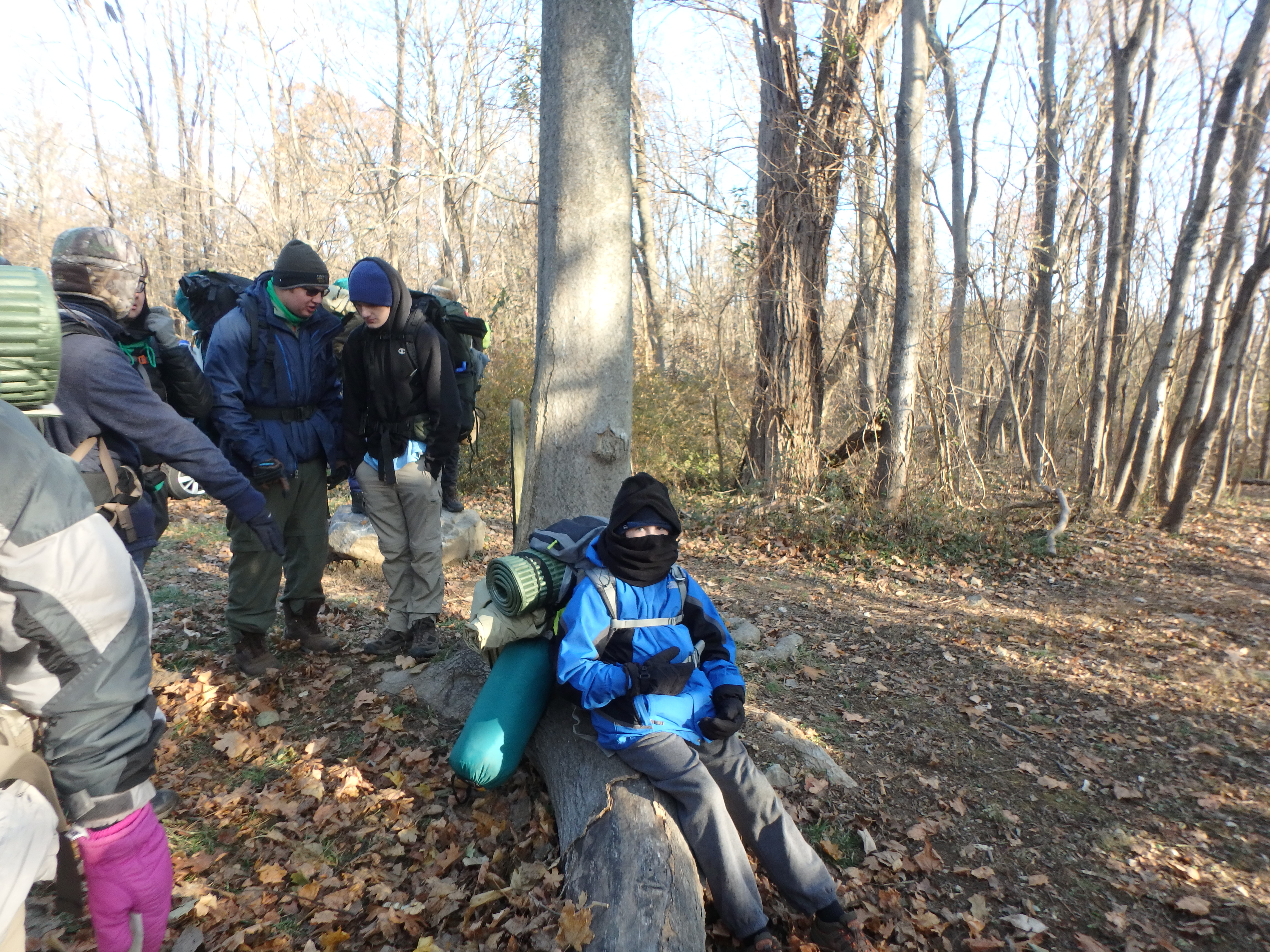
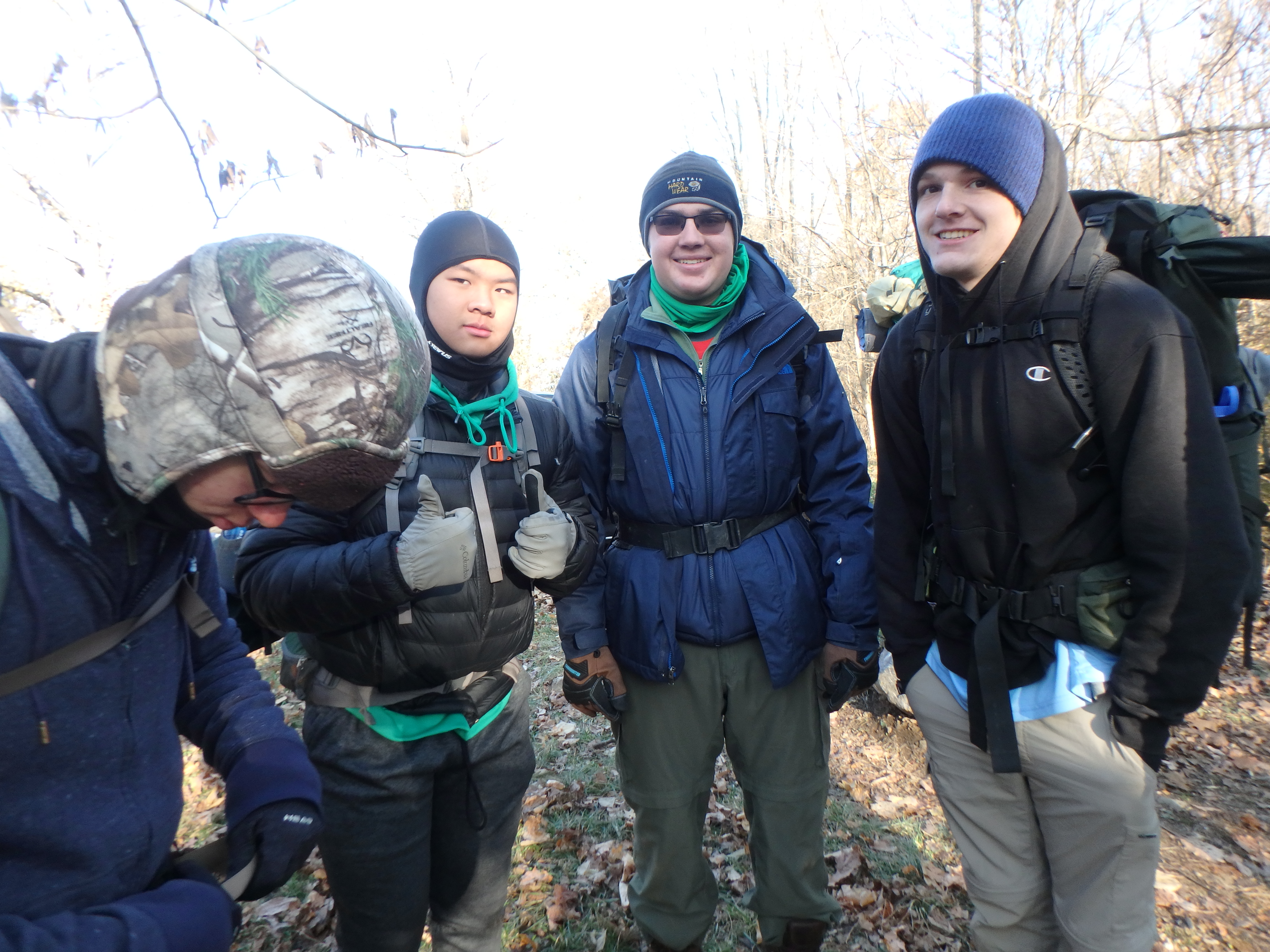
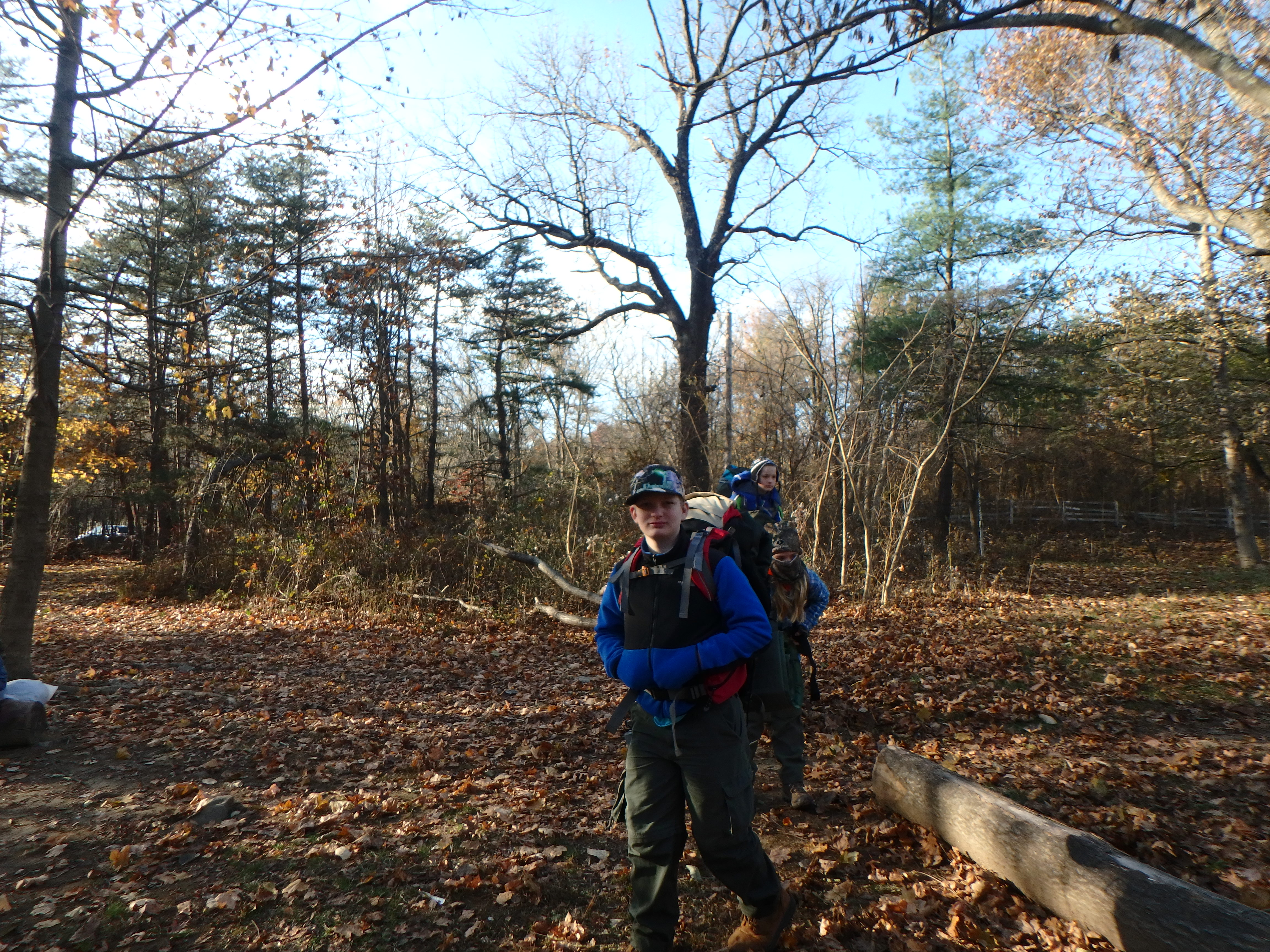
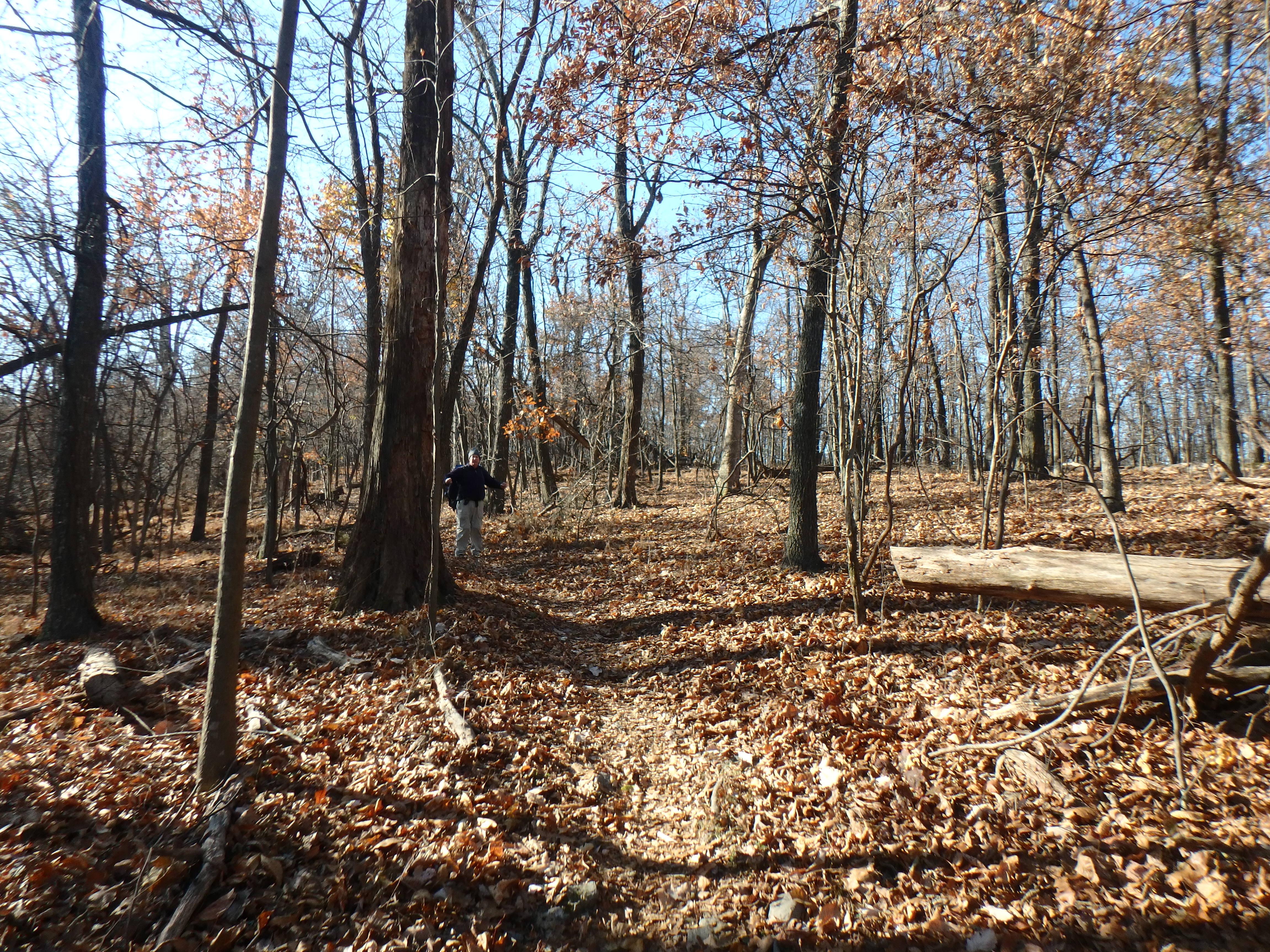
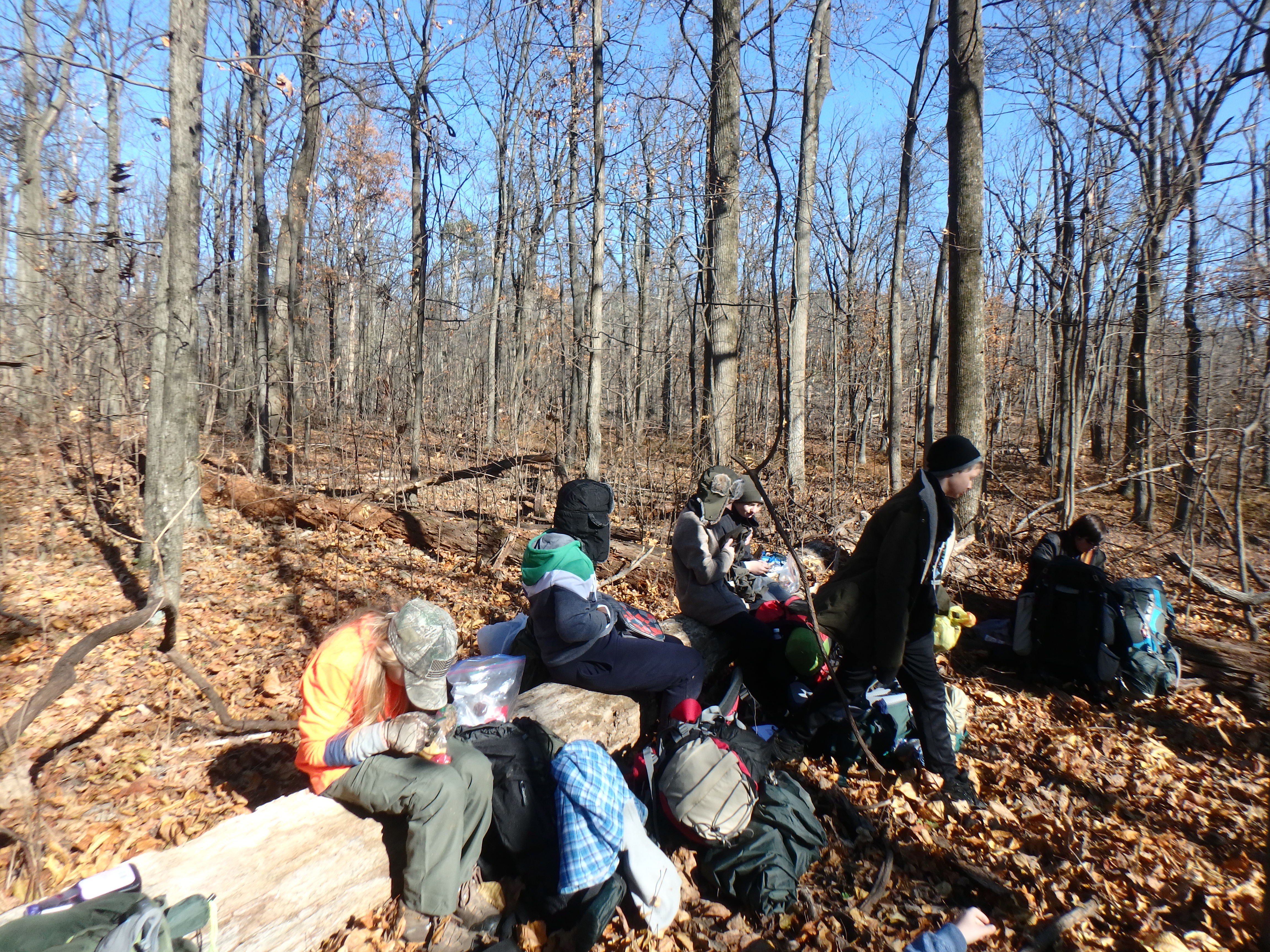
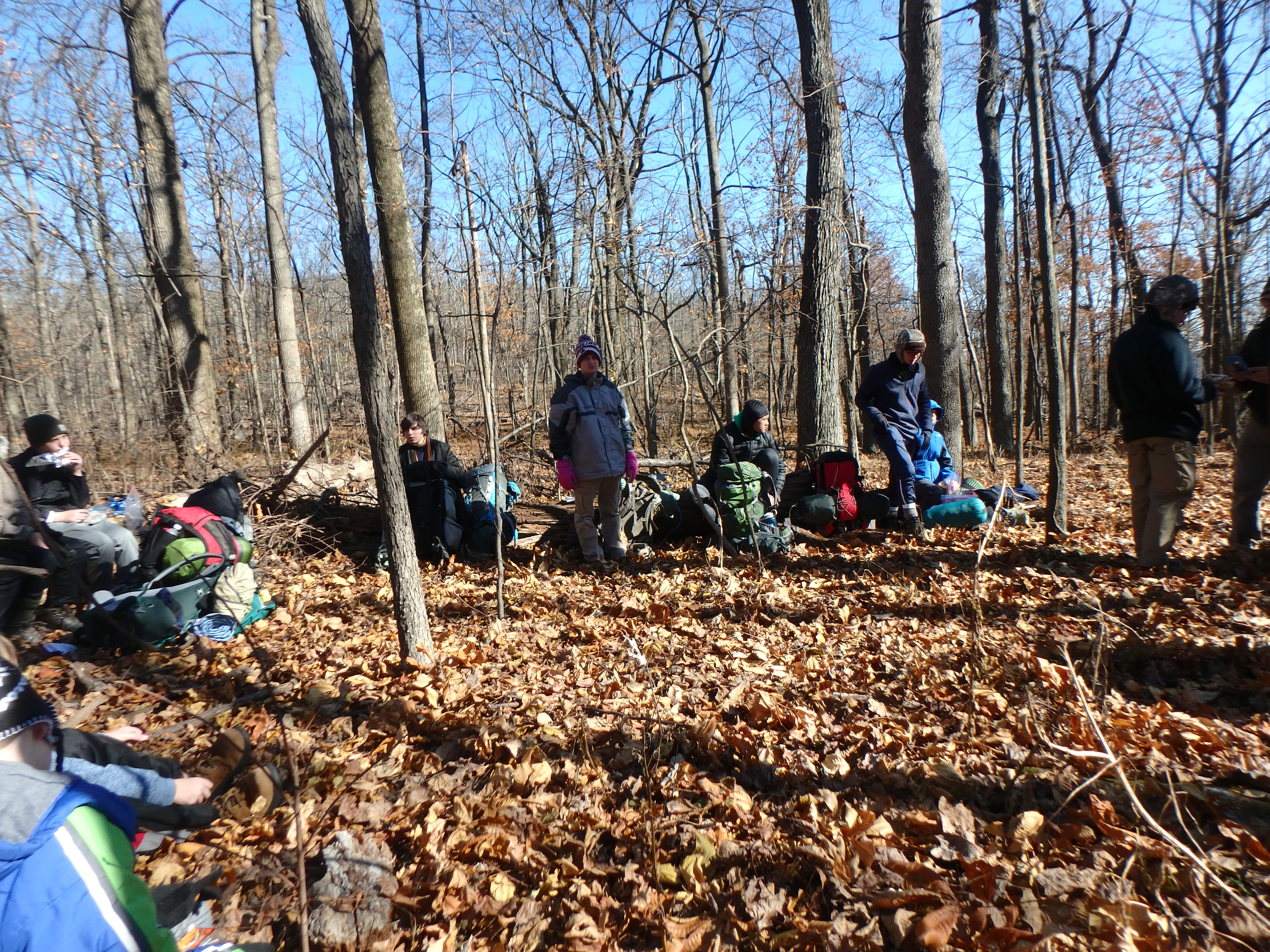
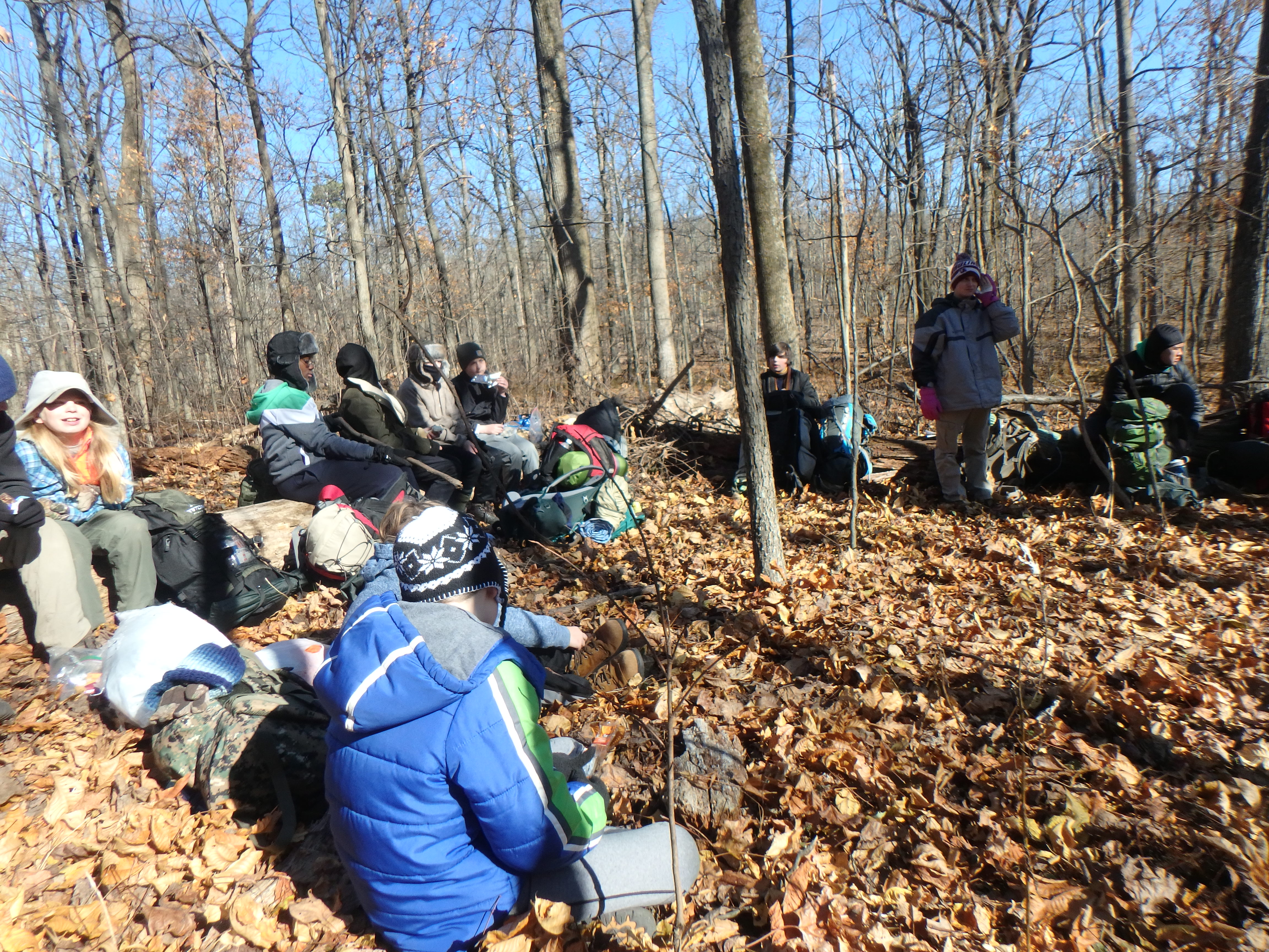
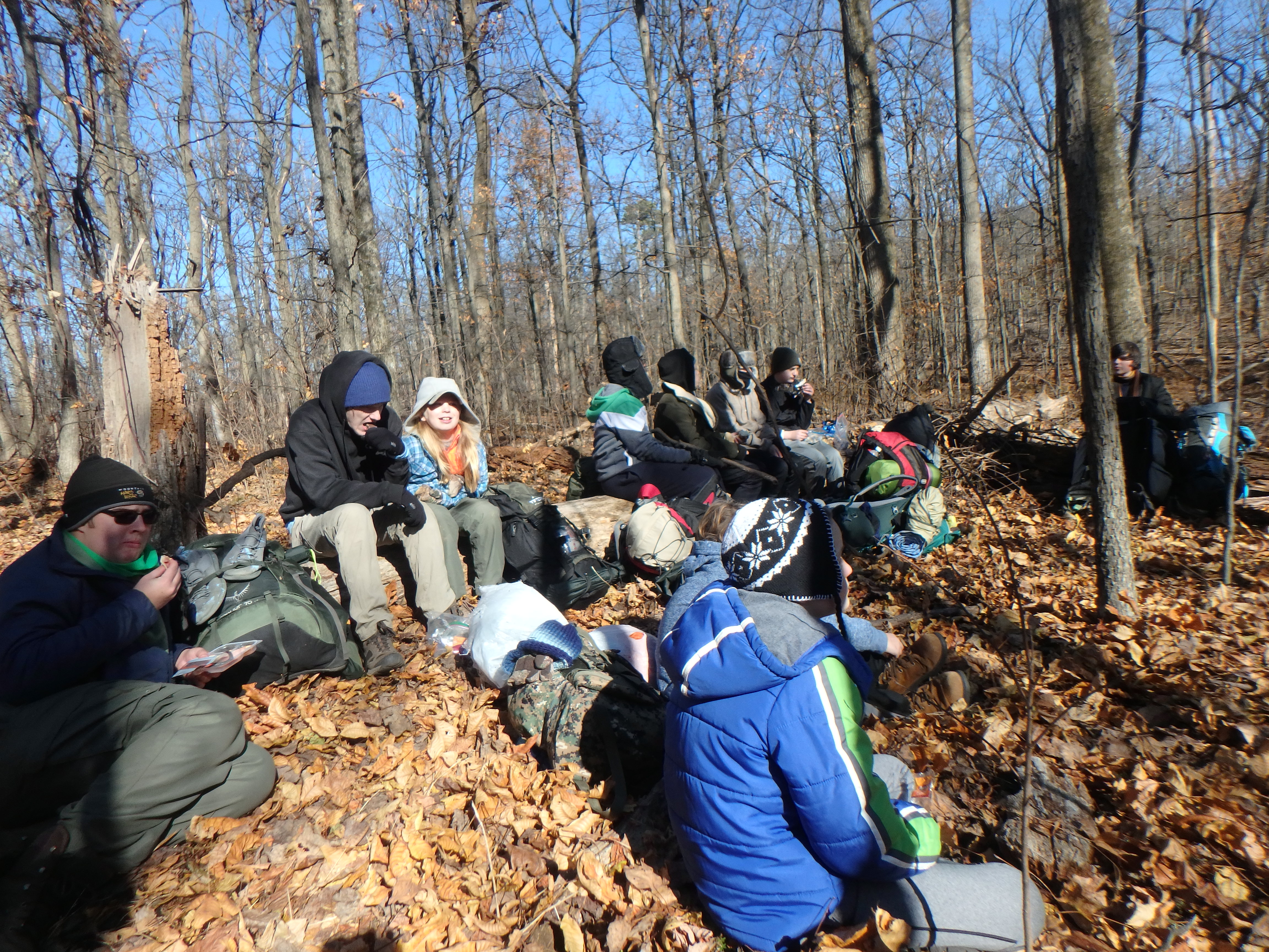
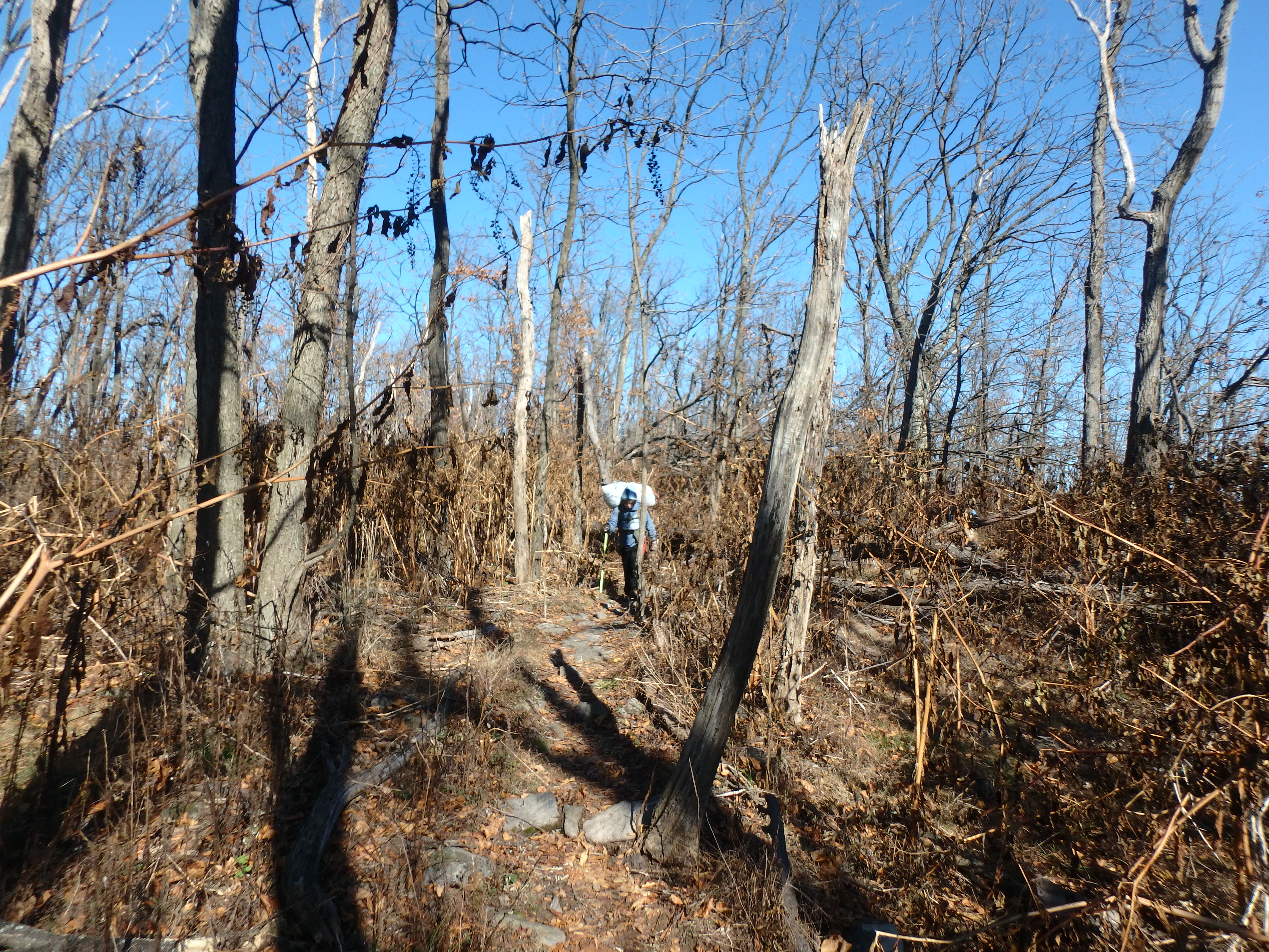
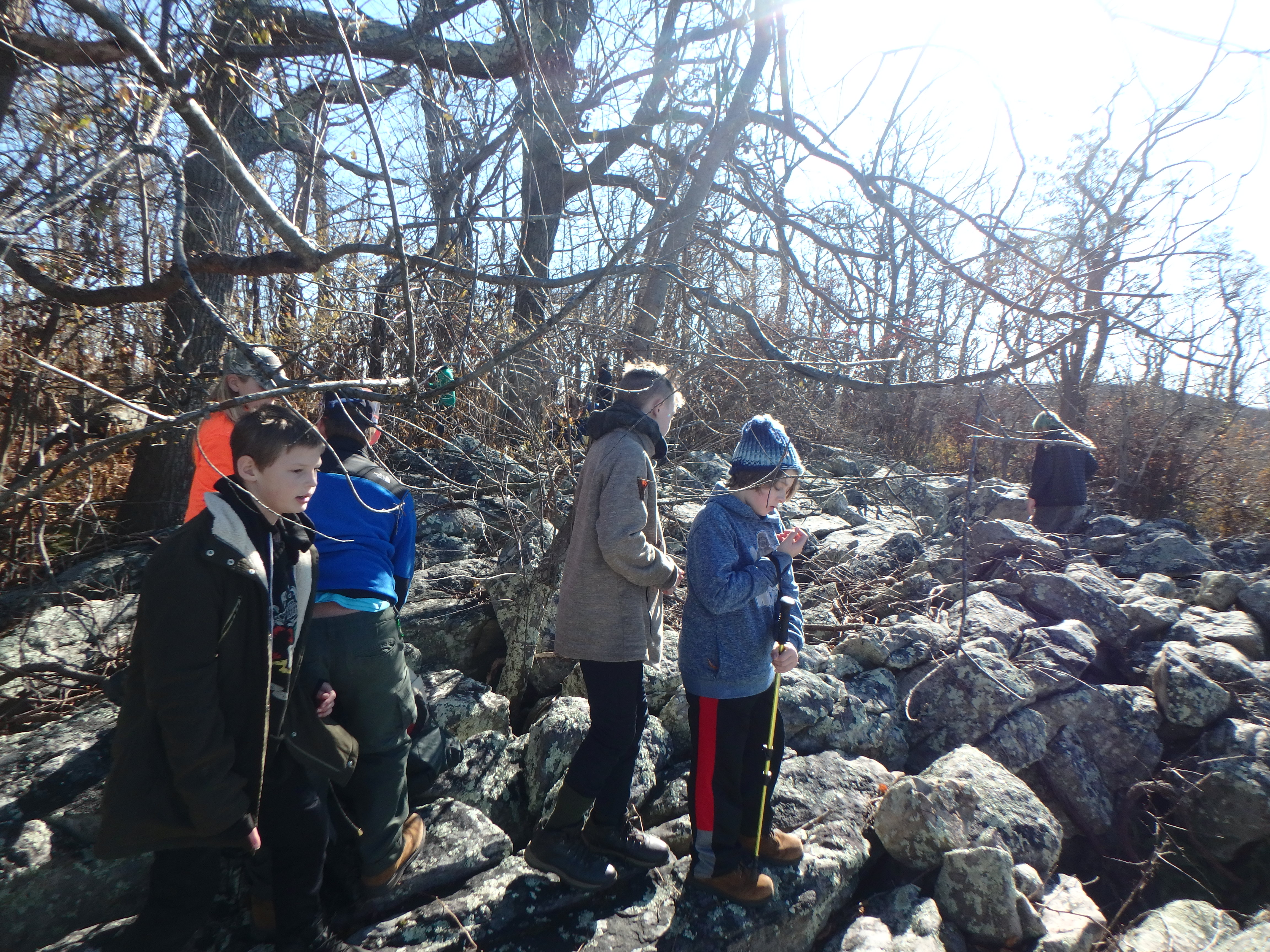
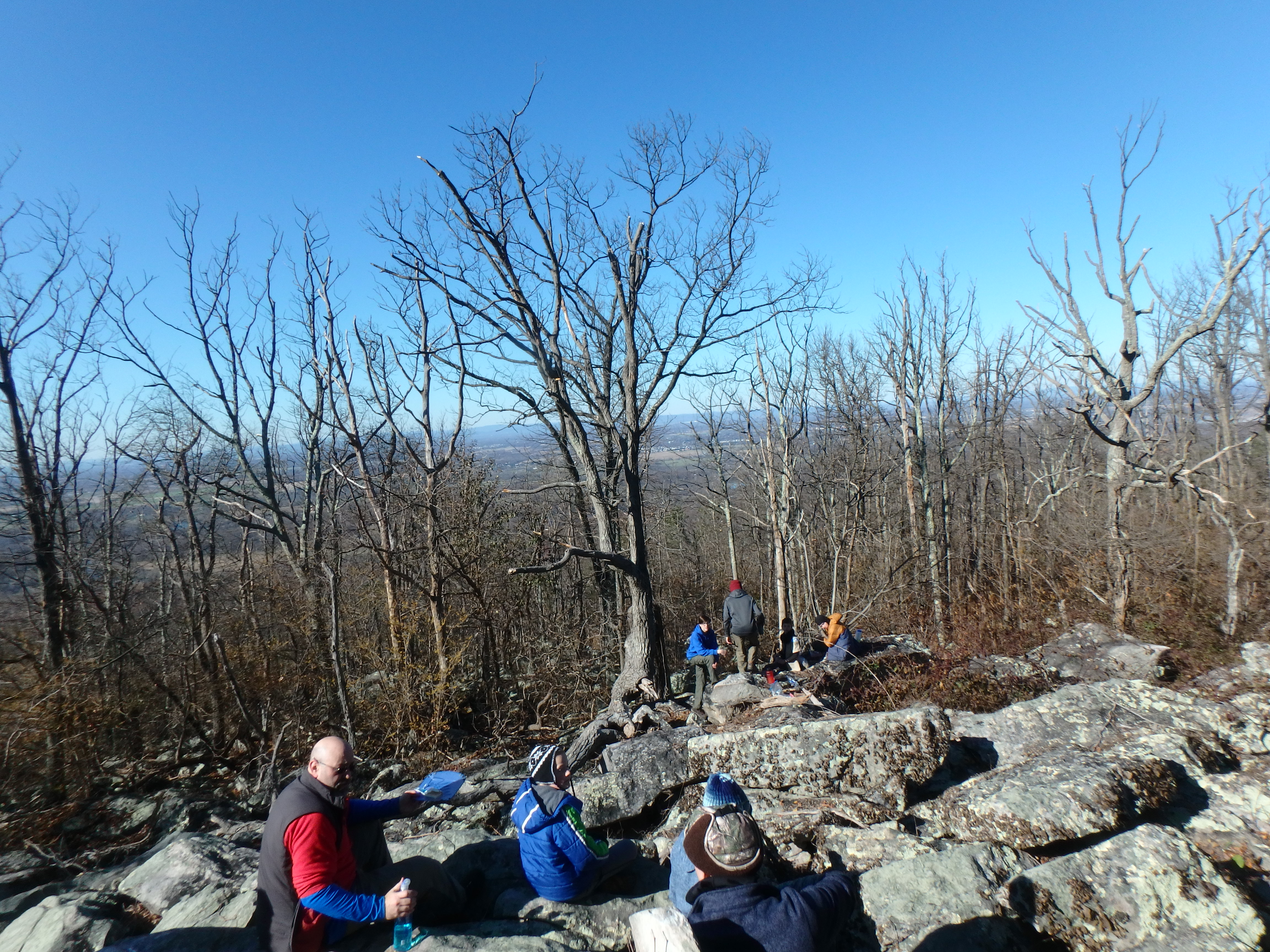
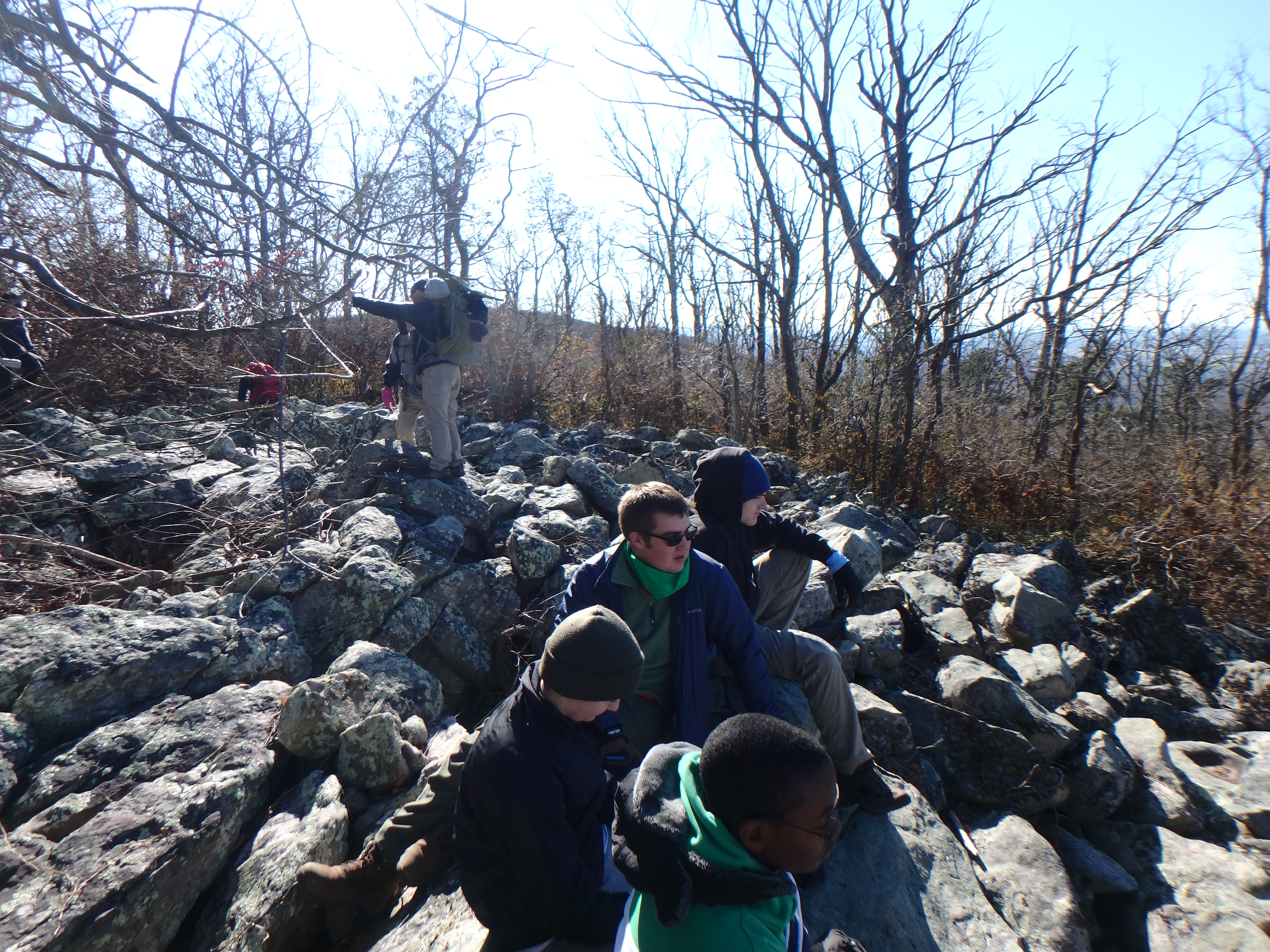
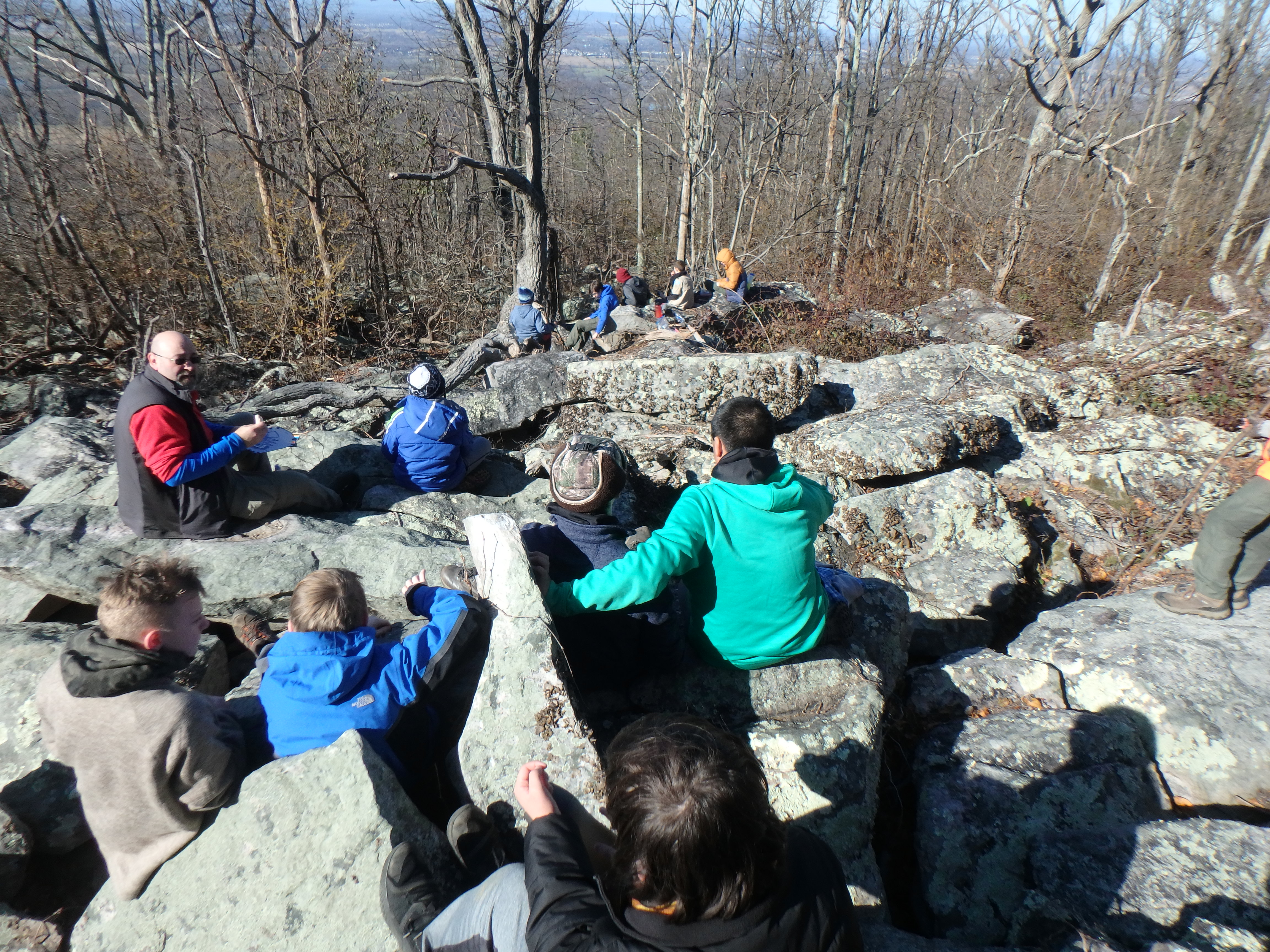
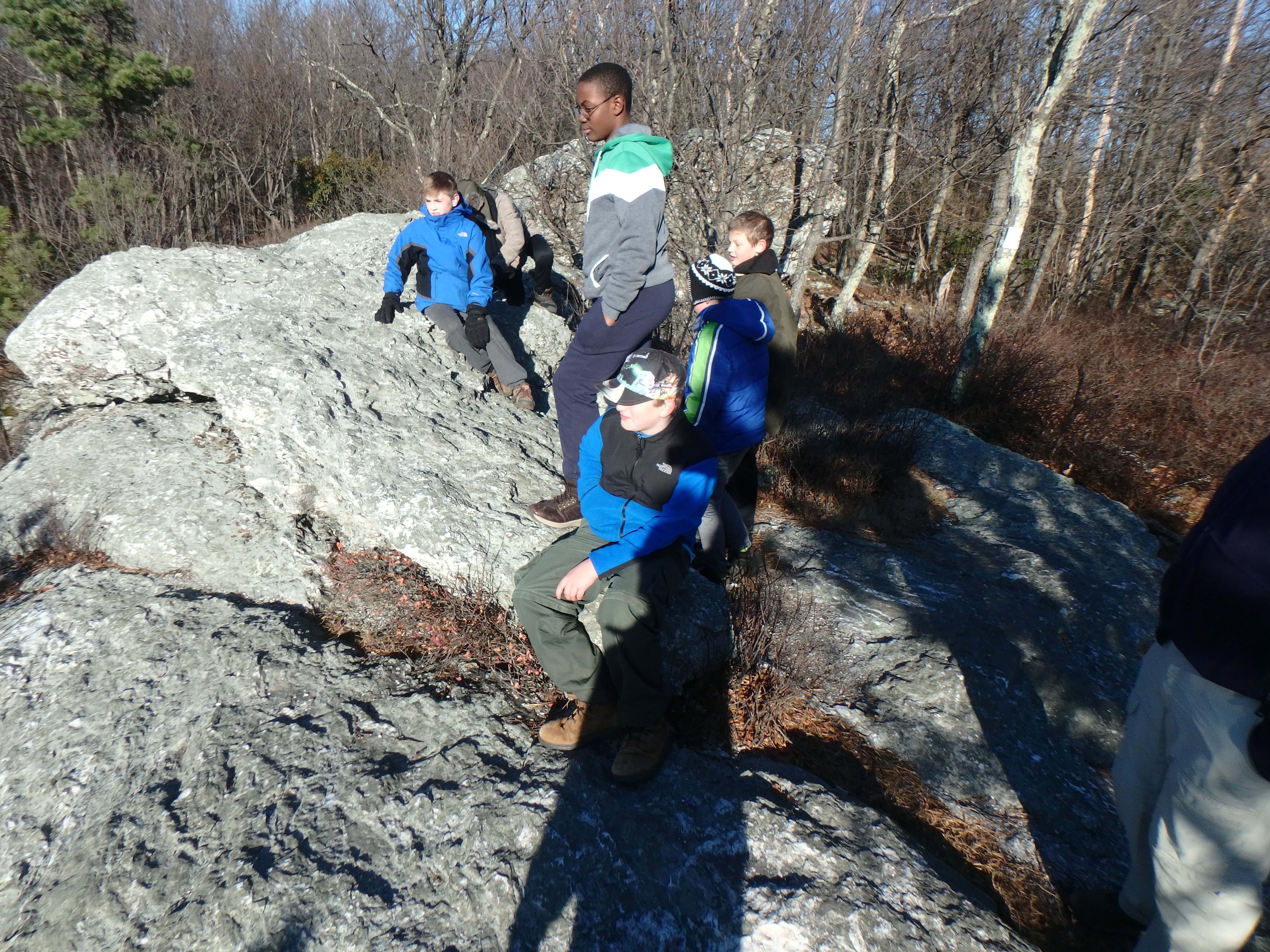
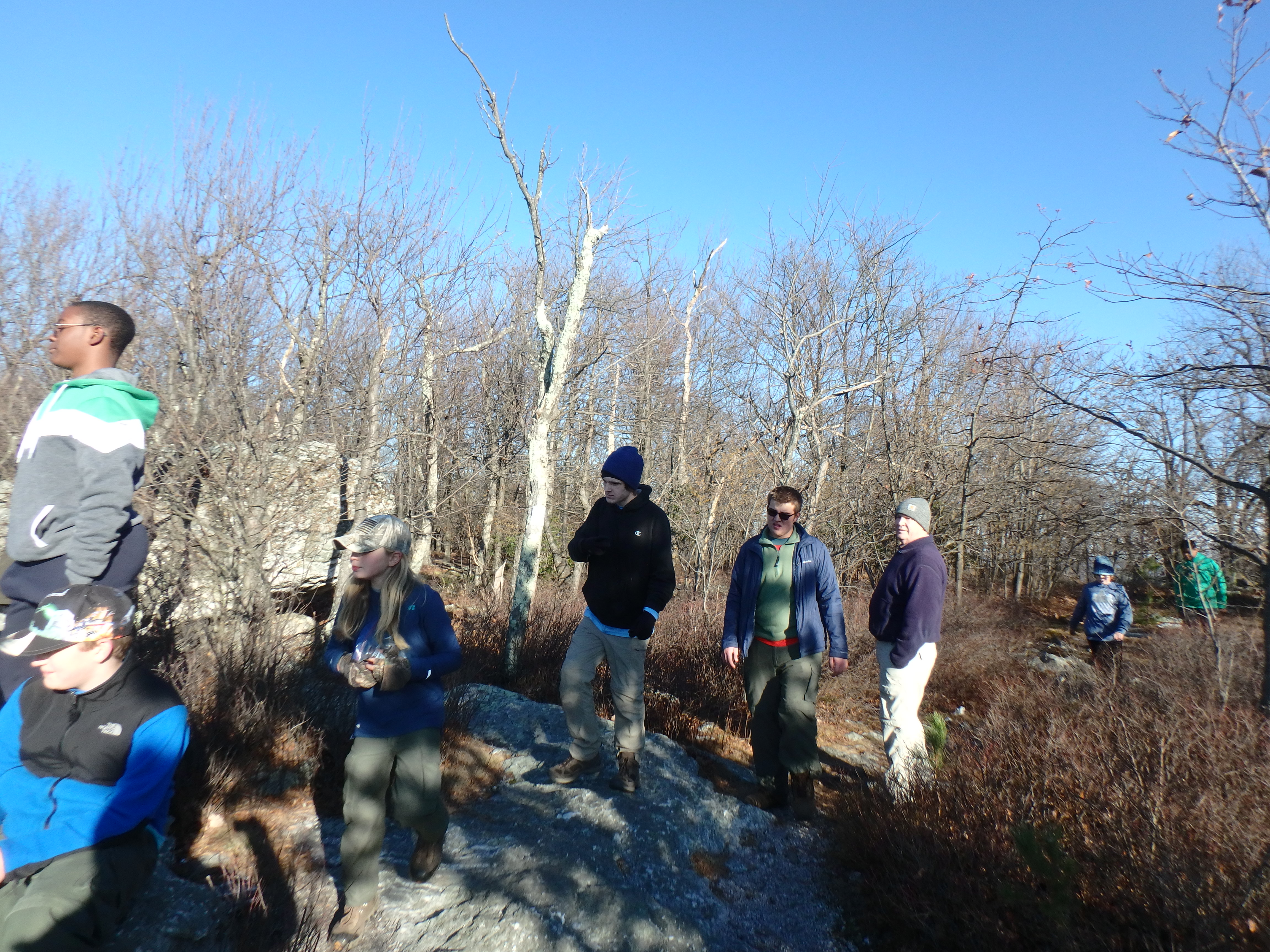
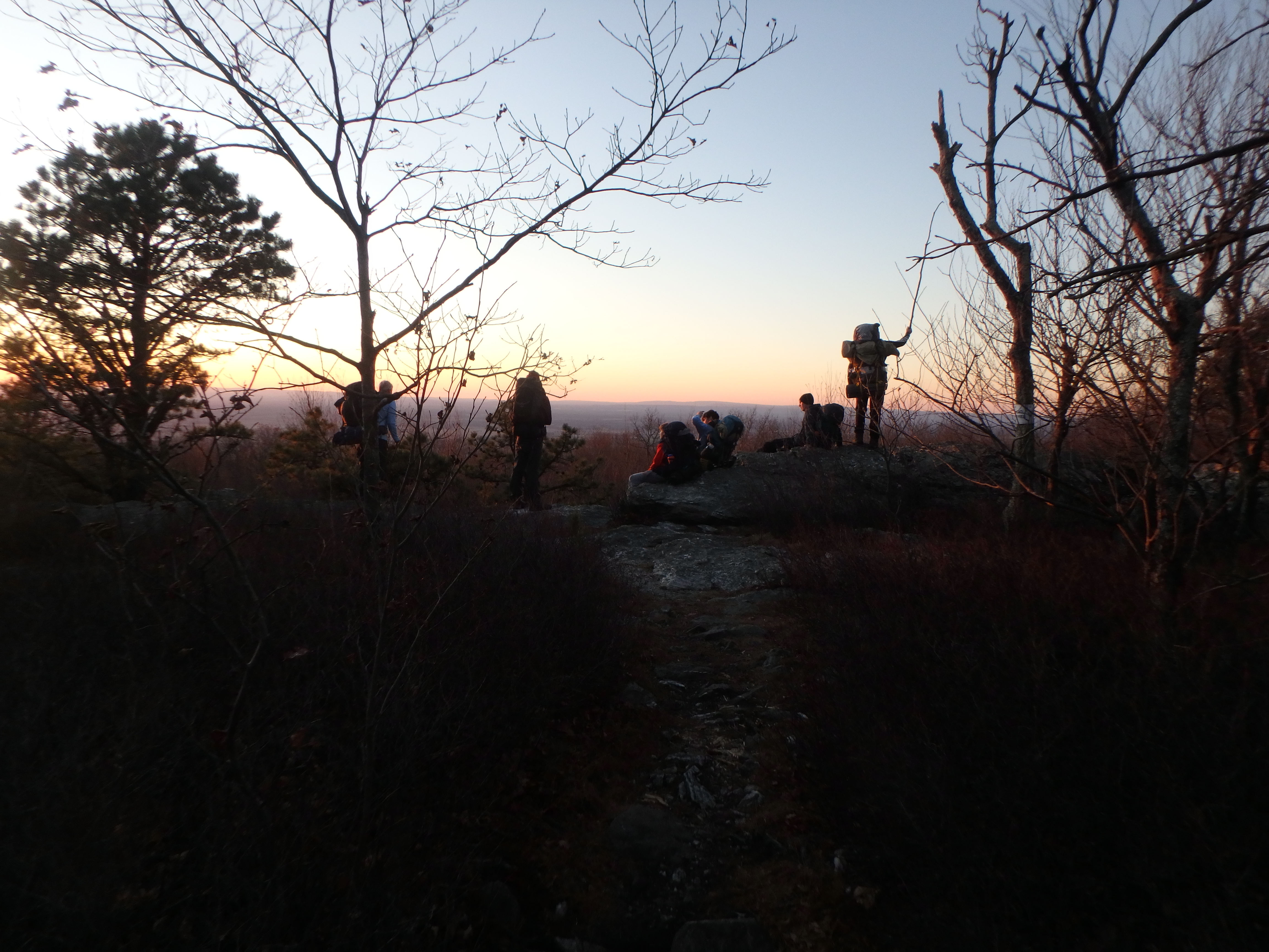
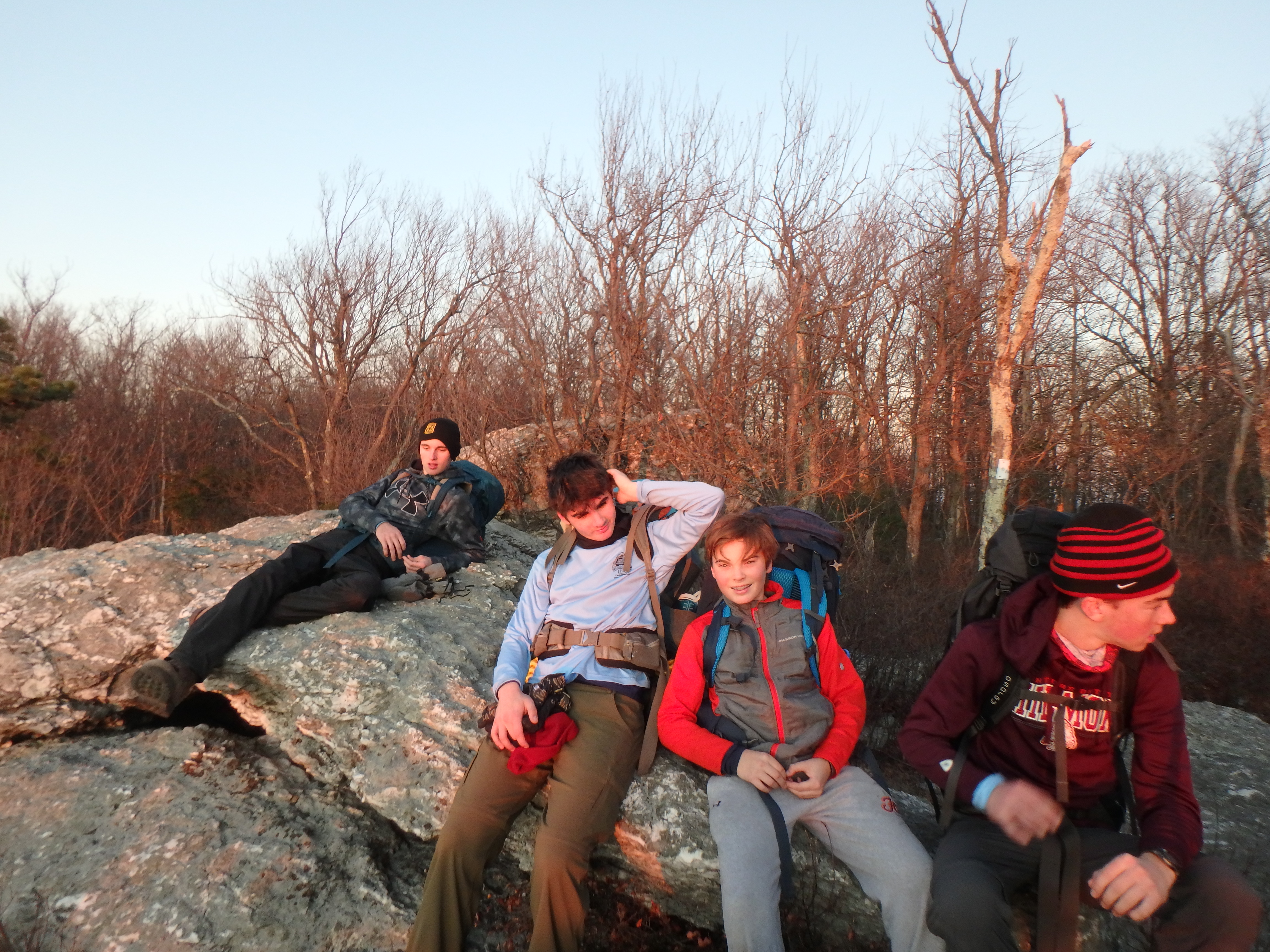
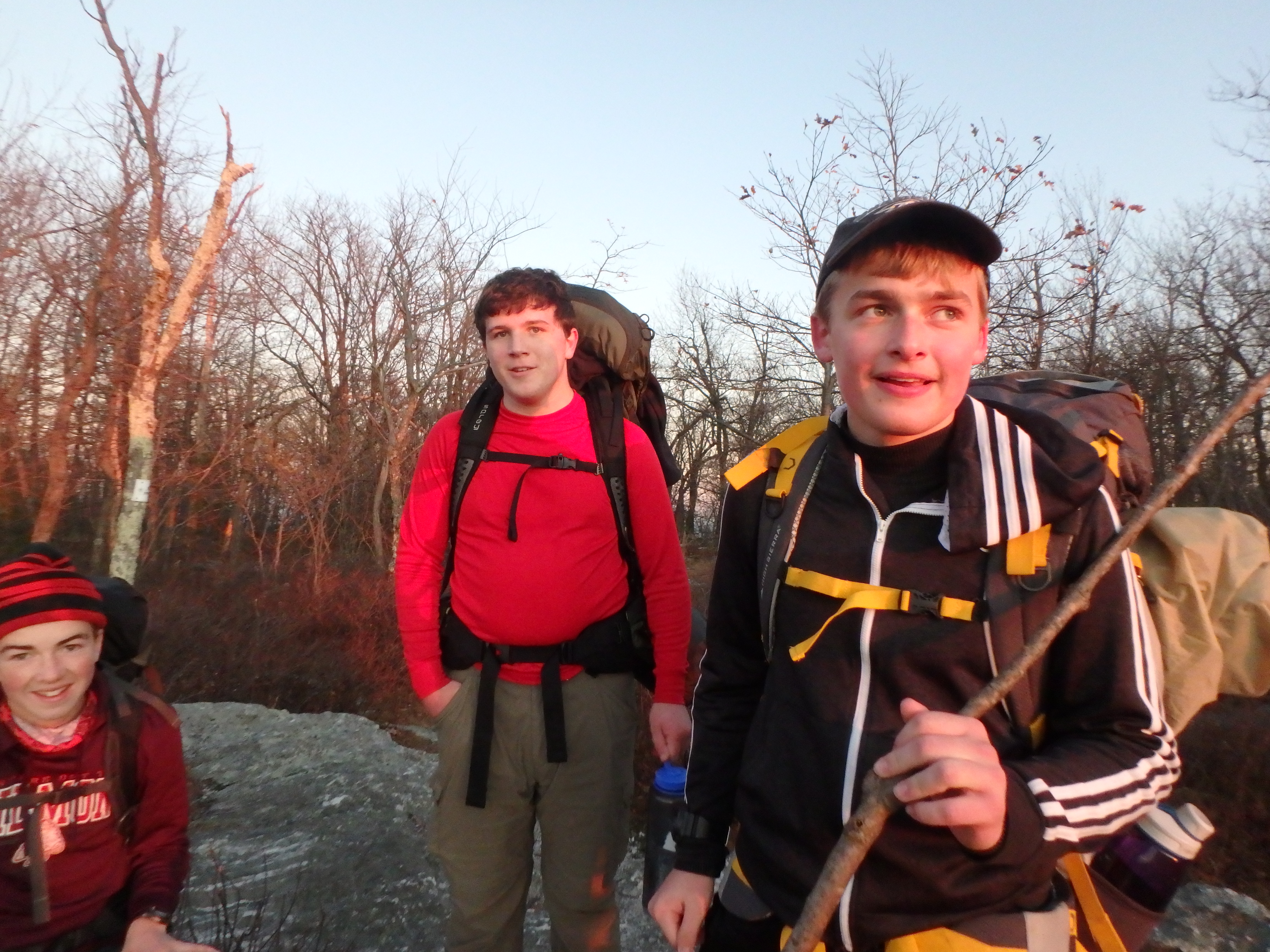
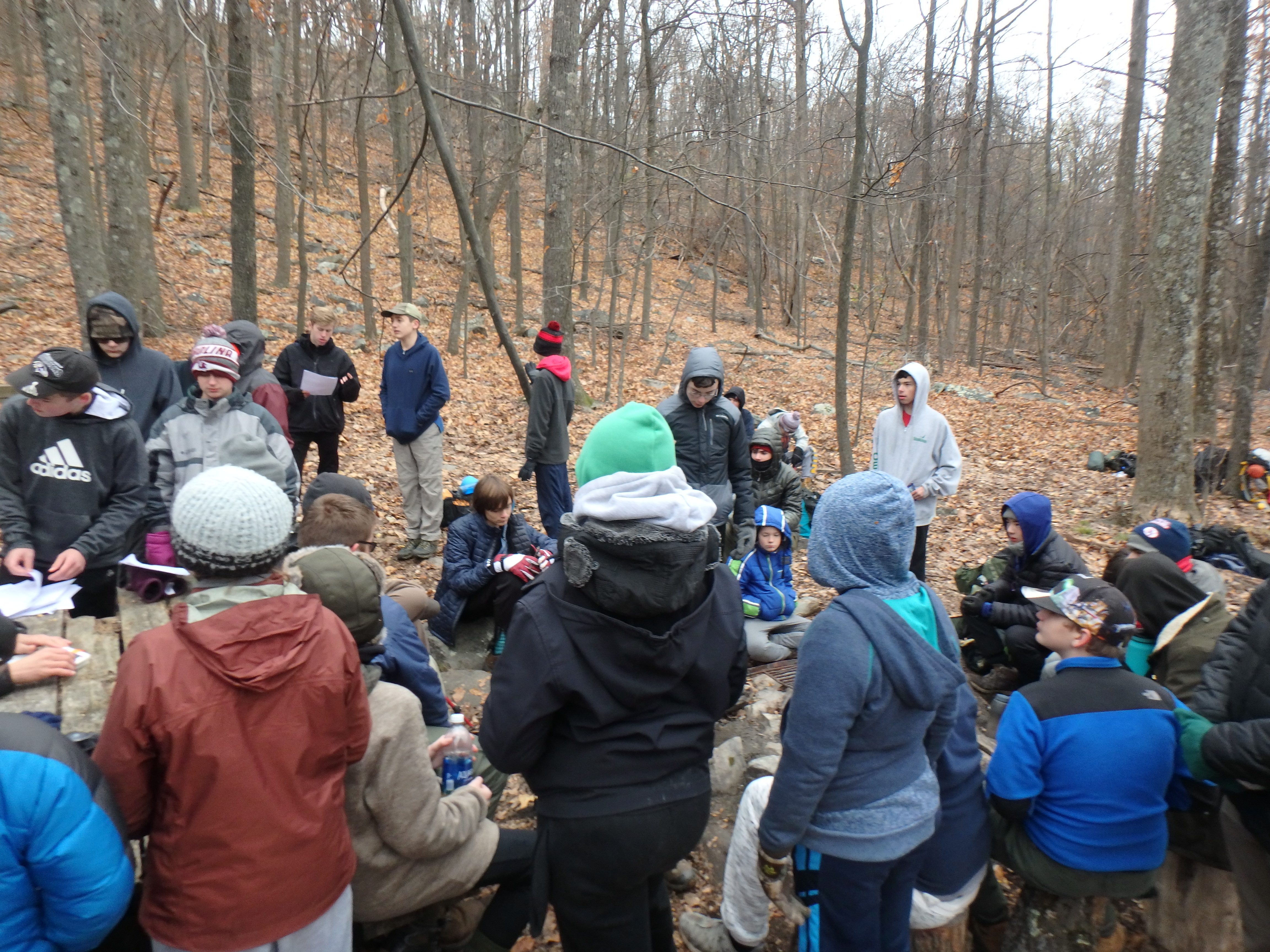
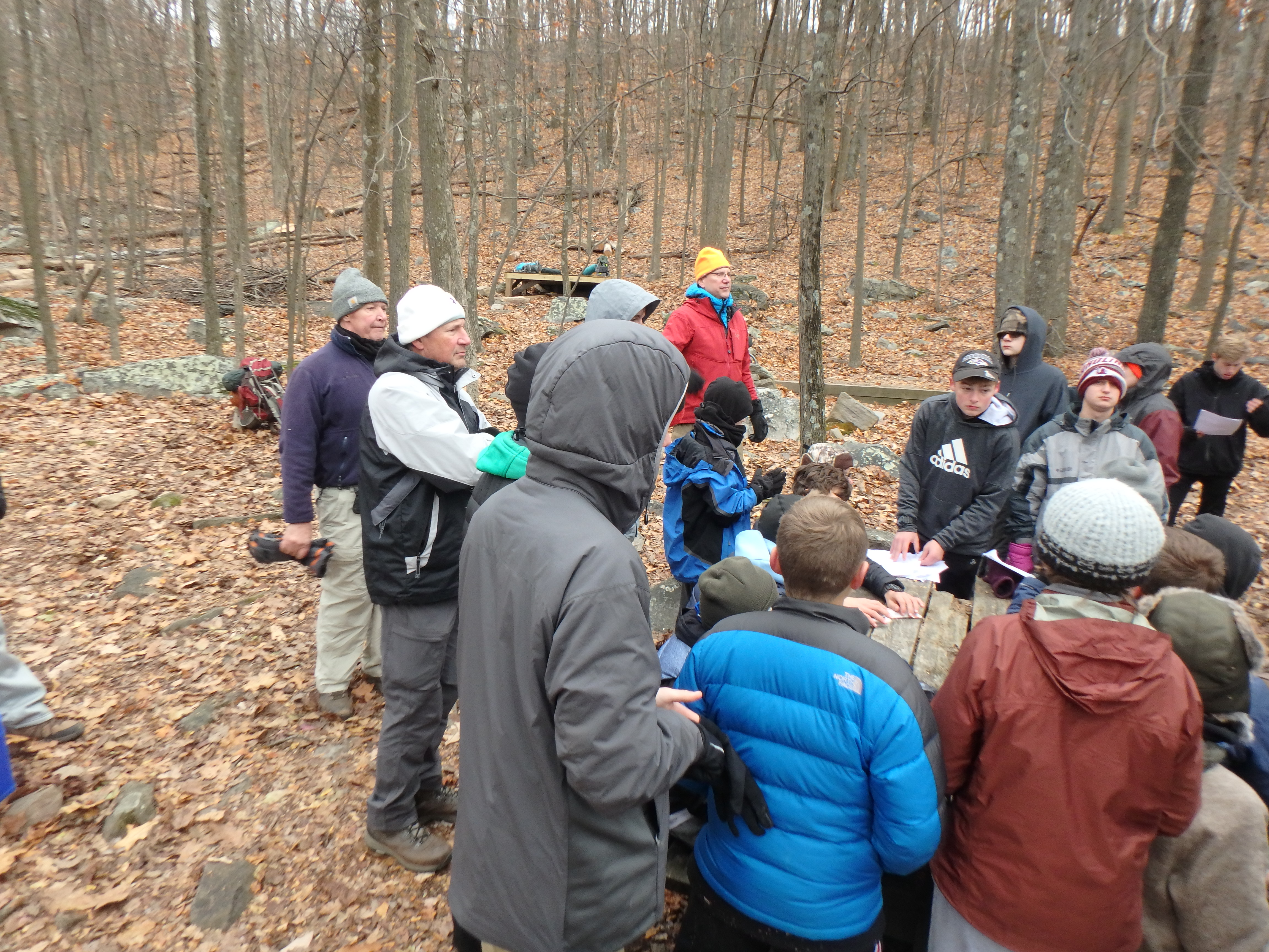
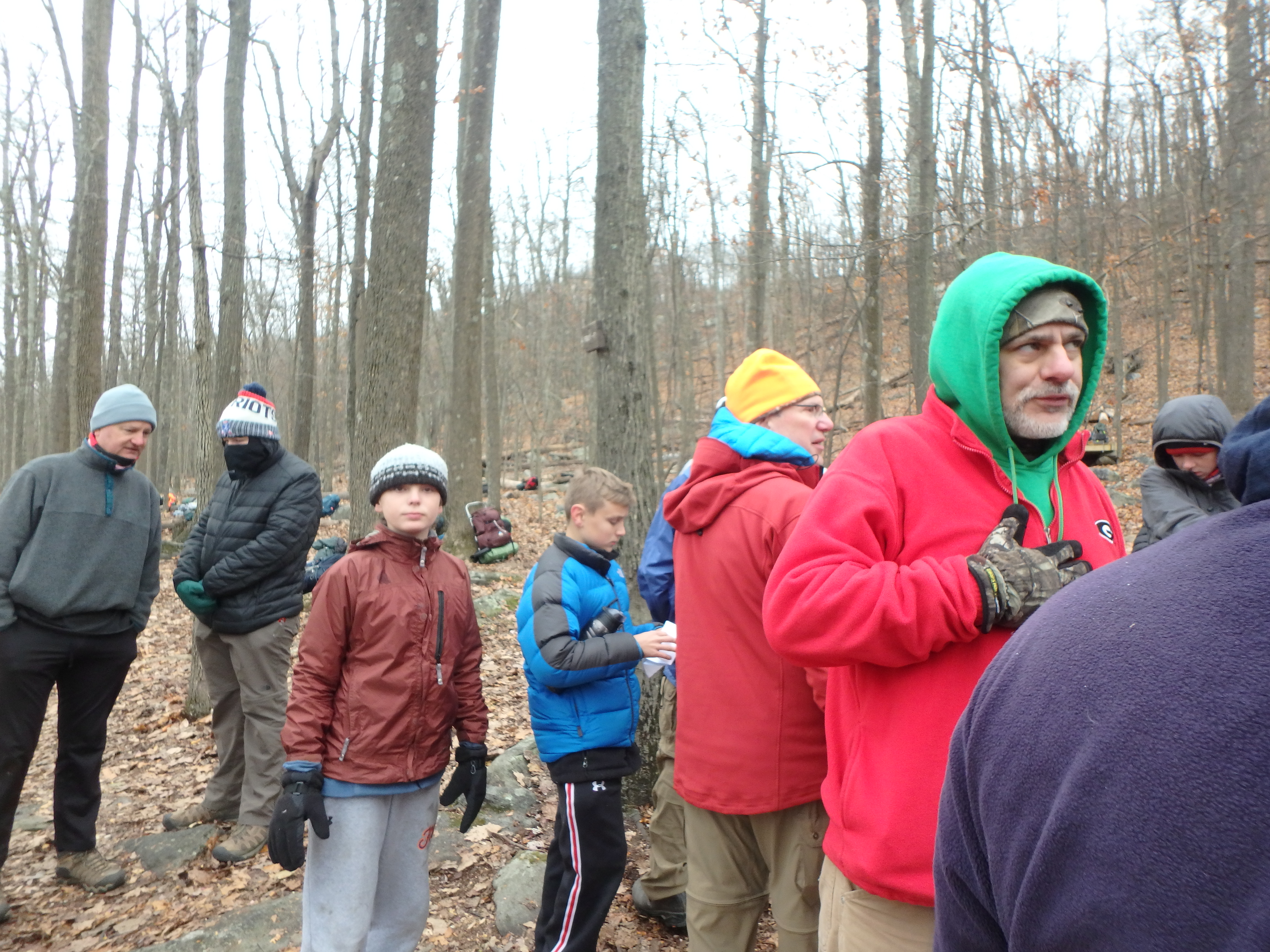
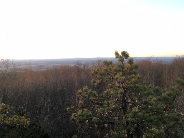
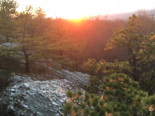
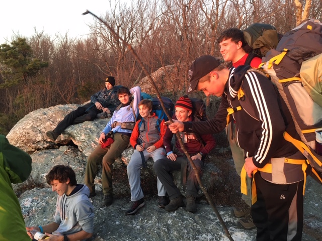
During our November weekend backpacking trip on the Appalachian trail we crisscrossed between Virginia and West Virginia. On Friday the 15th we camped at Antietam Creek Campground where the temperature dipped to 29ºF overnight. After a quick breakfast twenty-four scouts and seven adults headed to the start of the long hike at the NPS parking lot in Harpers Ferry. Sixteen scouts and five adults, along with two adults who were shuttling cars, headed to Keys Gap for their start. It was a perfect cold and crisp morning for backpacking.Both groups met up before dark at the camping area near the Blackburn Trail Center which was our Saturday night camping location. We were able to enjoy a campfire to help warm us and brighten our spirits. Several adults heated many gallons of water for a variety of scout dinners. The adults enjoyed a wonderful beef stew prepared by one of the adults. The temperature dropped to 28ºF overnight and froze water left in pots and even some in our water containers.
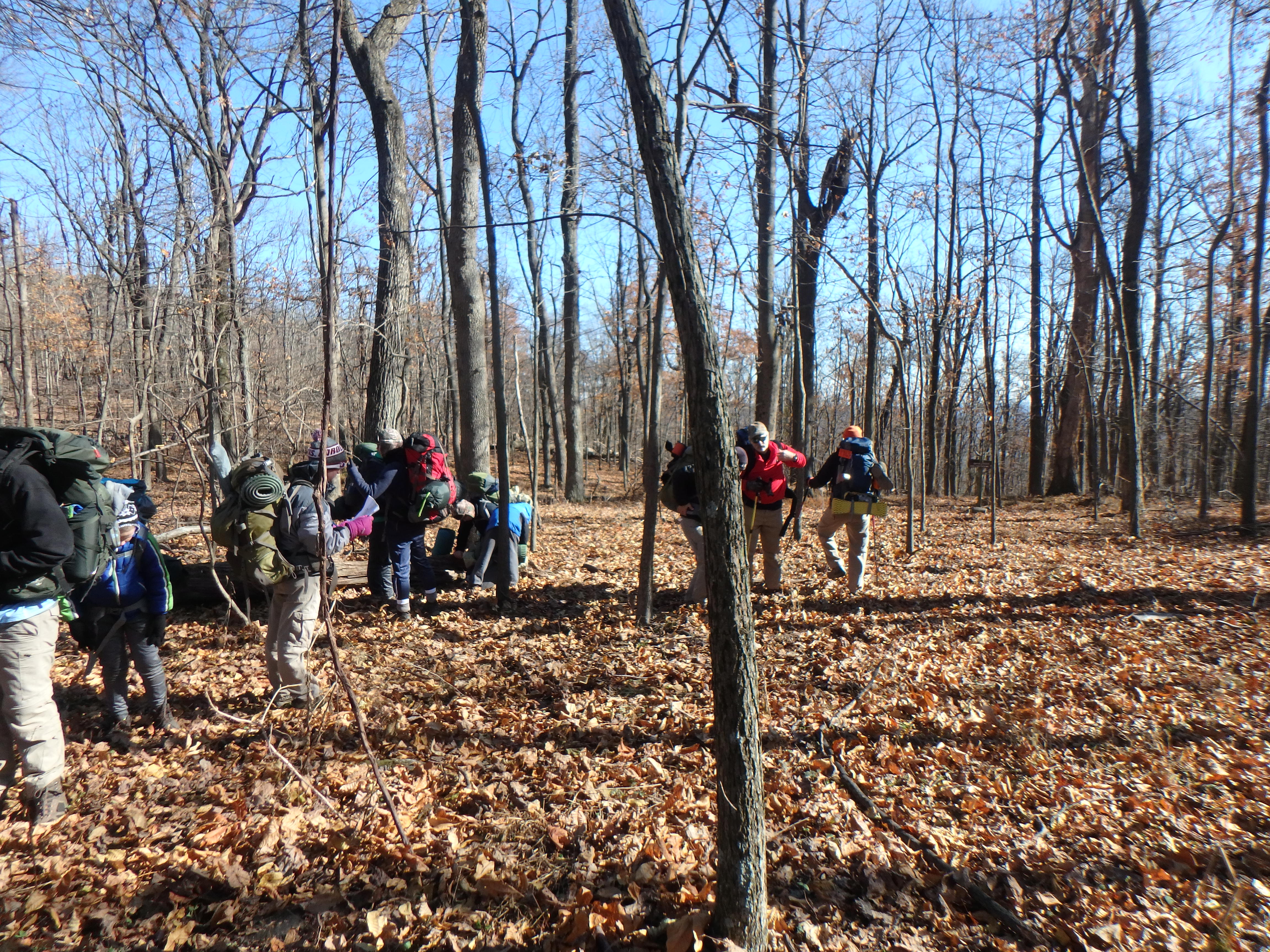
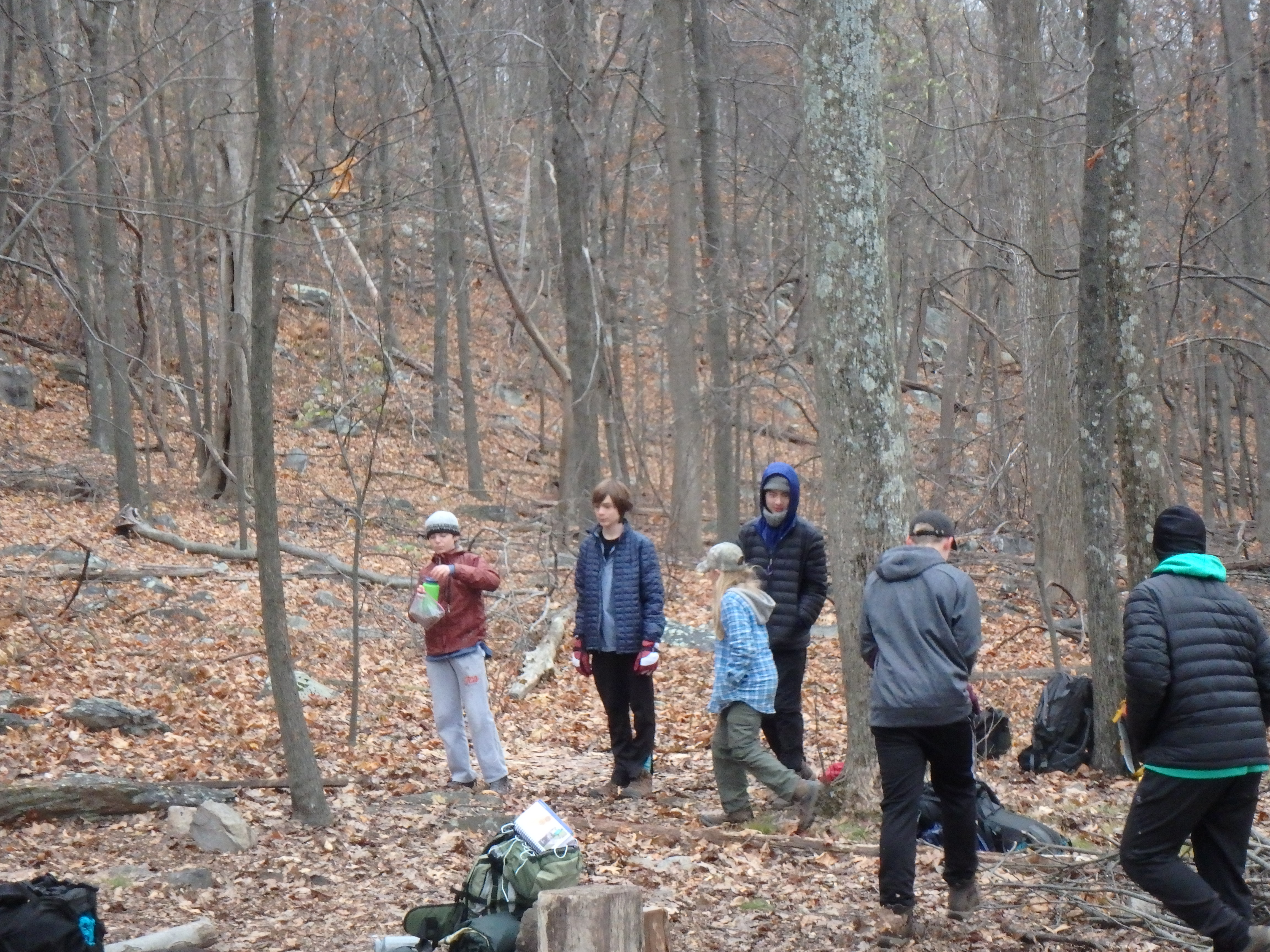
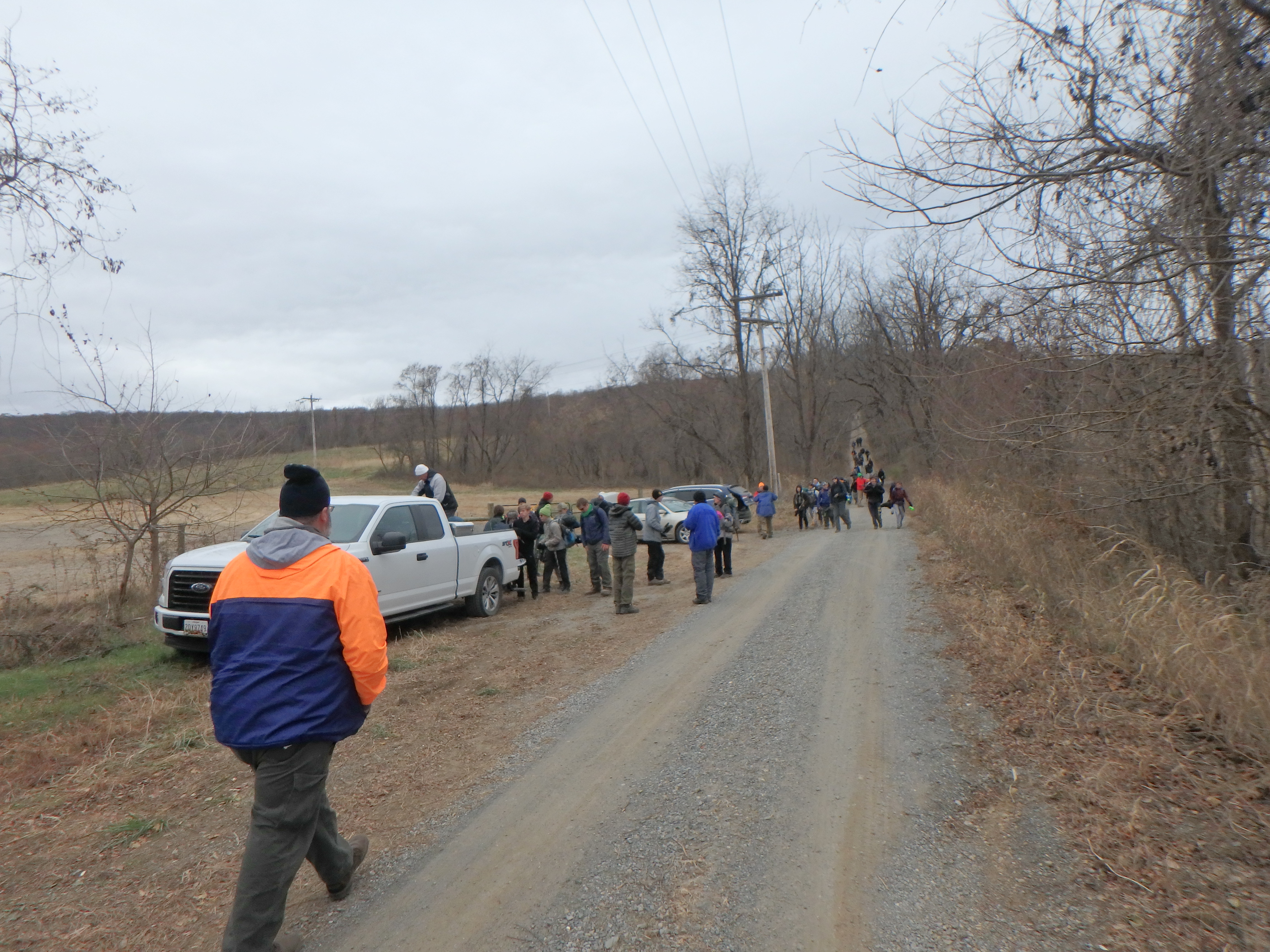
After breakfast and packing up the camp most adults went to get their cars while the remaining adults and scouts hiked out about 1.5 miles down the hill to where the road improved and the cars were waiting. The road up the hill was full of deep ruts caused by spinning wheels of previous travelers. Therefore, we only brought a few trucks and SUVs with high ground clearance and 4-wheel drive up the road to the parking lot.
This file is a gpx track of the long hike. Download the file to your computer and un zip it. Then drag the .gpx file on top of a Google Earth Pro window or open a browser window to OpenTopoMap and drag the file on top of it. You will see the track of the long hike on a satellite view in Earth or on a topo map in Open Topo Map. You can move your mouse around and see where we were at various times and even an elevation profile linked to the track. The track was started a few minutes into the long hike and ends at our campsite. The long hike was recorded as 12.9 miles and the short hike was 6.3 miles. Explore and enjoy.
Click on a photograph to see the large, high quality version or right click and select the menu item to save it to your disk. Contact the photographers for even higher resolution images. Click the 158 MB zip file to download a zip file containing all of the images on this page. Submit your photographs for posting by emailing a link to the Webmaster .